|
Click on any thumbnail to see the full-size image in a new
window:
(many more maps coming soon
...)
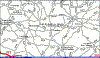
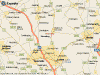
 Clippingdale - Map of East London
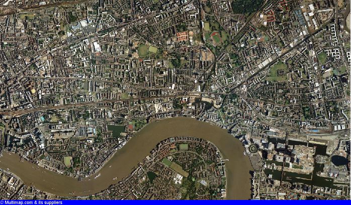
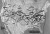
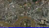 Clippingdale - Aerial Photo of East London
Click
here to customize view of this map/photo
Click here
for map of England with ancient counties (pre-1974 divisions)
 Clippingdale, Catherine Jane - Map of Wanstead, England
 Clippingdale, William Charles - Map of Mile End, England
 Brotton, Fleta Edna - Map of Buck Lake, Alberta
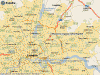
 Gorham - French origins in Gorram, France (near La Tanniere)
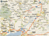
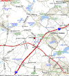
 Harwood, Archibald - Map of Dunstable, New Hampshire
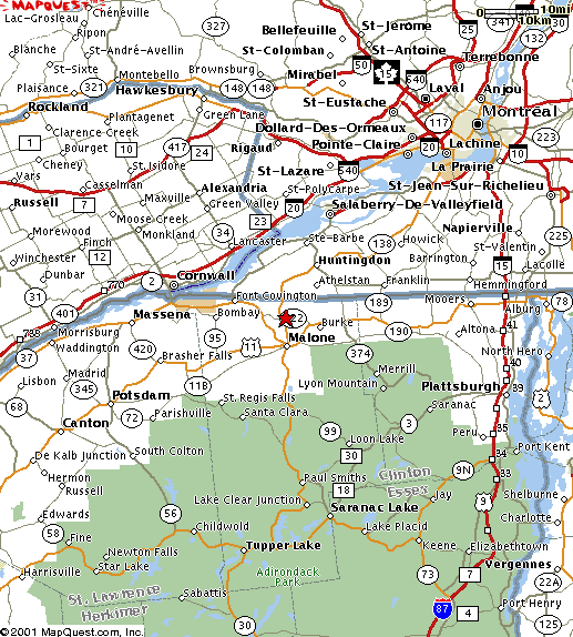
 Harwood, Archibald - Map of Constable, New York
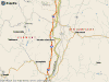
 Harwood, James - Map of Chelmsford, Massachusetts
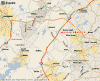
 Harwood, James - Map of Littleton, Massachusetts
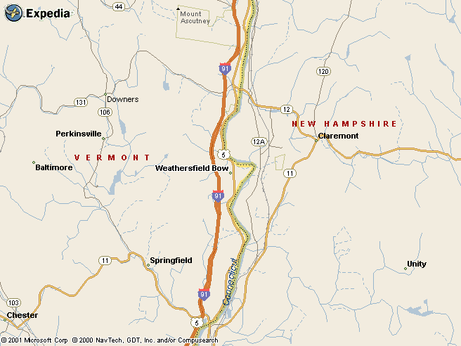
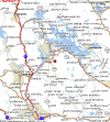
 Harwood, Jesse - Map of Wethersfield Bow, Vermont
 Harwood, Jesse - Map of Eden, Vermont
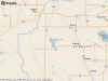
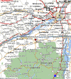
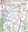
 Harwood/ Houghton - Map of North Central Massachusetts
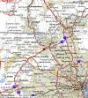
 Norton - Map of Streatley, Sharpenhoe, England
Norton - Map of Streatley, Sharpenhoe, England
 U.S. Westward Migration, 1775-1860
|